Iberian Publishing Company's On-Line Catalog: Mason County Virginia
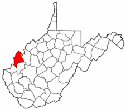
The region had been settled several decades prior to the American Revolution, and its current county seat (Point Pleasant) was the site of the battle of the same name in Lord Dunmore's War, 10 October 1774. Mason County was formally organized in 1804 from the northwestern corner of Kanawha County. The new county was named for George Mason, author of the Virginia Constitution of 1776 and the Virginia Declaration of Rights.
Between 1817 and 1824 the boundary demarcation between Mason and Kanawha counties was settled. Jackson took a part of Mason's lands in 1831 and another parcel was taken with the creation of Putnam County in 1848. In 1867 the boundary between Mason and Jackson was readjusted, and in 1868 Mason surrendered a small parcel of land to Cabell County.


 The region had been settled several decades prior to the American Revolution, and its current county seat (Point Pleasant) was the site of the battle of the same name in Lord Dunmore's War, 10 October 1774. Mason County was formally organized in 1804 from the northwestern corner of Kanawha County. The new county was named for George Mason, author of the Virginia Constitution of 1776 and the Virginia Declaration of Rights.
Between 1817 and 1824 the boundary demarcation between Mason and Kanawha counties was settled. Jackson took a part of Mason's lands in 1831 and another parcel was taken with the creation of Putnam County in 1848. In 1867 the boundary between Mason and Jackson was readjusted, and in 1868 Mason surrendered a small parcel of land to Cabell County.
The region had been settled several decades prior to the American Revolution, and its current county seat (Point Pleasant) was the site of the battle of the same name in Lord Dunmore's War, 10 October 1774. Mason County was formally organized in 1804 from the northwestern corner of Kanawha County. The new county was named for George Mason, author of the Virginia Constitution of 1776 and the Virginia Declaration of Rights.
Between 1817 and 1824 the boundary demarcation between Mason and Kanawha counties was settled. Jackson took a part of Mason's lands in 1831 and another parcel was taken with the creation of Putnam County in 1848. In 1867 the boundary between Mason and Jackson was readjusted, and in 1868 Mason surrendered a small parcel of land to Cabell County.
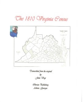 Mason County,Virginia 1810 Federal Census: A Transcription
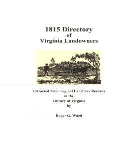 Mason Co. 1815 Directory of Landowners
by Roger G. Ward. 2005. 13 pages, map, 5 1/2X8 1/2.
Mason Co. 1815 Directory of Landowners
by Roger G. Ward. 2005. 13 pages, map, 5 1/2X8 1/2.